
University of the South Hiking Trails Cartographic Map by Maury Ballenger
University of the South Hiking Trails Cartographic Map by Maury Ballenger
$25.00
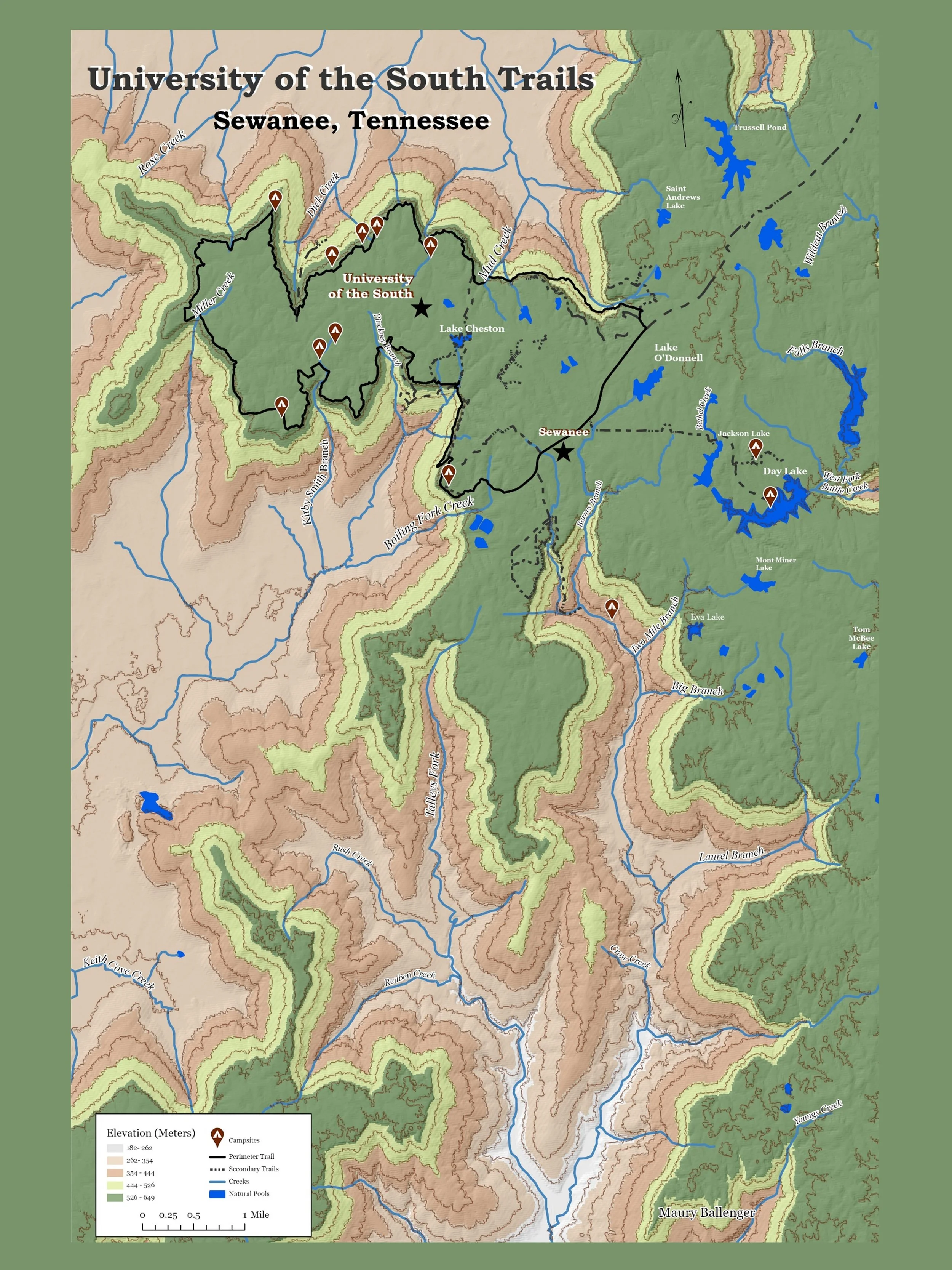
This digital download is a 300 dpi jpeg. The purpose of this Geographic Information Systems (GIS) project was to create a map visualization of the University of the South hiking area in Sewanee, Tennessee that follows good cartographic principles. The points, lines and polygons were hand digitized by Maury Ballenger.
For more details about this map visit my ArcGIS StoryMap.